
Free Delivery
Free Delivery, No Fuss
Every order ships free — simple, transparent, and stress-free.

No surprise fees on delivery. Any import duties are settled at checkout — never on your doorstep.
All delivery timeframes start from the day after you place your order, unless otherwise specified.
Express is FREE on orders over $200.00 AUD
Express is FREE on orders over £100.00 GBP
Changed your mind? No problem.
No! We ship all orders DDP (Delivery Duty Paid). All VAT and customs duties are included in your order total, so there are no surprise fees — even for orders over €150.
IOSS is an electronic portal for handling VAT on EU imports. What this means for you: We include VAT in all prices and handle customs. Your orders ship DDP, so you pay nothing extra on arrival.
You'll receive confirmation emails when your order ships. Gift card purchases don't count towards free delivery. We cannot deliver to military addresses in EU countries. Problems? Contact us.
Promo code - 5% Off your First Order
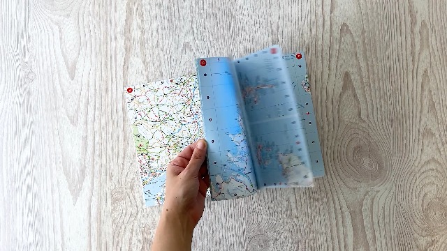
Navigate Britain and Ireland with confidence using this easy-to-use, handy A5 road atlas from Collins. Featuring extremely clear route planning maps, this spiral-bound edition is designed to fit neatly into your glove box or bag for convenient travel.
Key Features/BenefitsThis 2027 edition provides essential, up-to-date mapping for anyone planning routes across Britain and Ireland, ensuring you have clear navigation tools readily accessible.


From our door to yours—rely on our global network for quick and secure delivery, wherever you are.
Your satisfaction is our priority. Enjoy free returns within 30 days, making every purchase completely risk-free.
Rest easy knowing that your financial data is secure with our robust, encrypted payment system.
